Graphical Area Forecast (GAF)
Following requests from the aviation industry, the Bureau of Meteorology will be changing the format of Area Forecasts (ARFORs) from text based to graphical on 9 November 2017. The new format is known as a Graphical Area Forecast (GAF). The GAF will be a combination of graphical and textual information. The graphic will be divided into areas that share common weather characteristics which are detailed in an associated table. There will be significant changes noticeable to users of ARFORs.
These include changes to:
* The number of forecast areas (10 GAFs in total for Australia, compared to 28 ARFORs) and therefore boundaries of each area;
* Validity periods;
* The method of advising significant weather deterioration; and
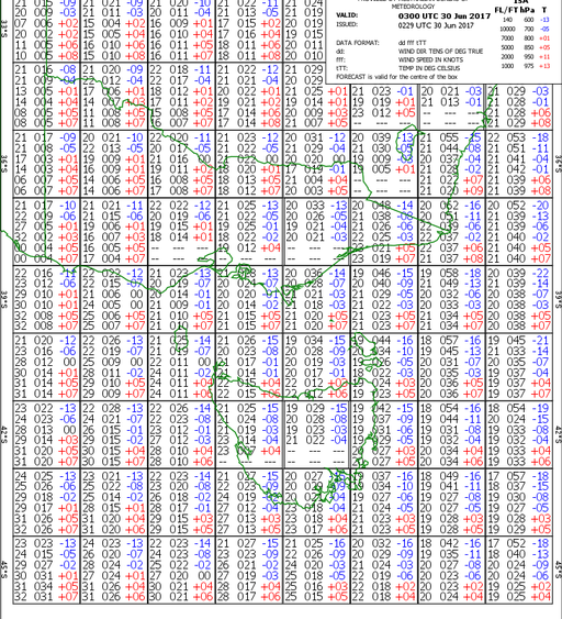
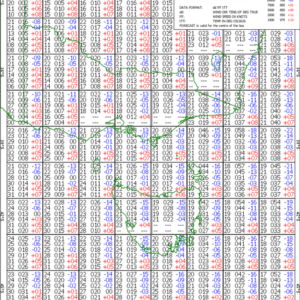
* Wind and temperature information, which will be presented in a separate Grid Point Wind and Temperature (GPWT) forecast product.


